Our aerial robots renowned worlwide
Outreach Robotics is a leader in developing cutting-edge aerial robotics solutions for remote and challenging environments. Our versatile products and custom-made solutions, which played a key role in winning the XPrize Rainforest Biodiversity Tech Competition, are designed to explore and operate in previously unreachable locations. Whether it’s for environmental sciences, forestry, or infrastructure inspection, our custom robotic solutions are adaptable for a wide range of applications.
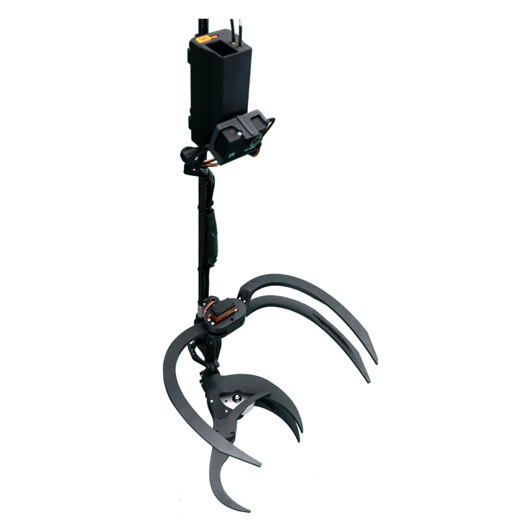
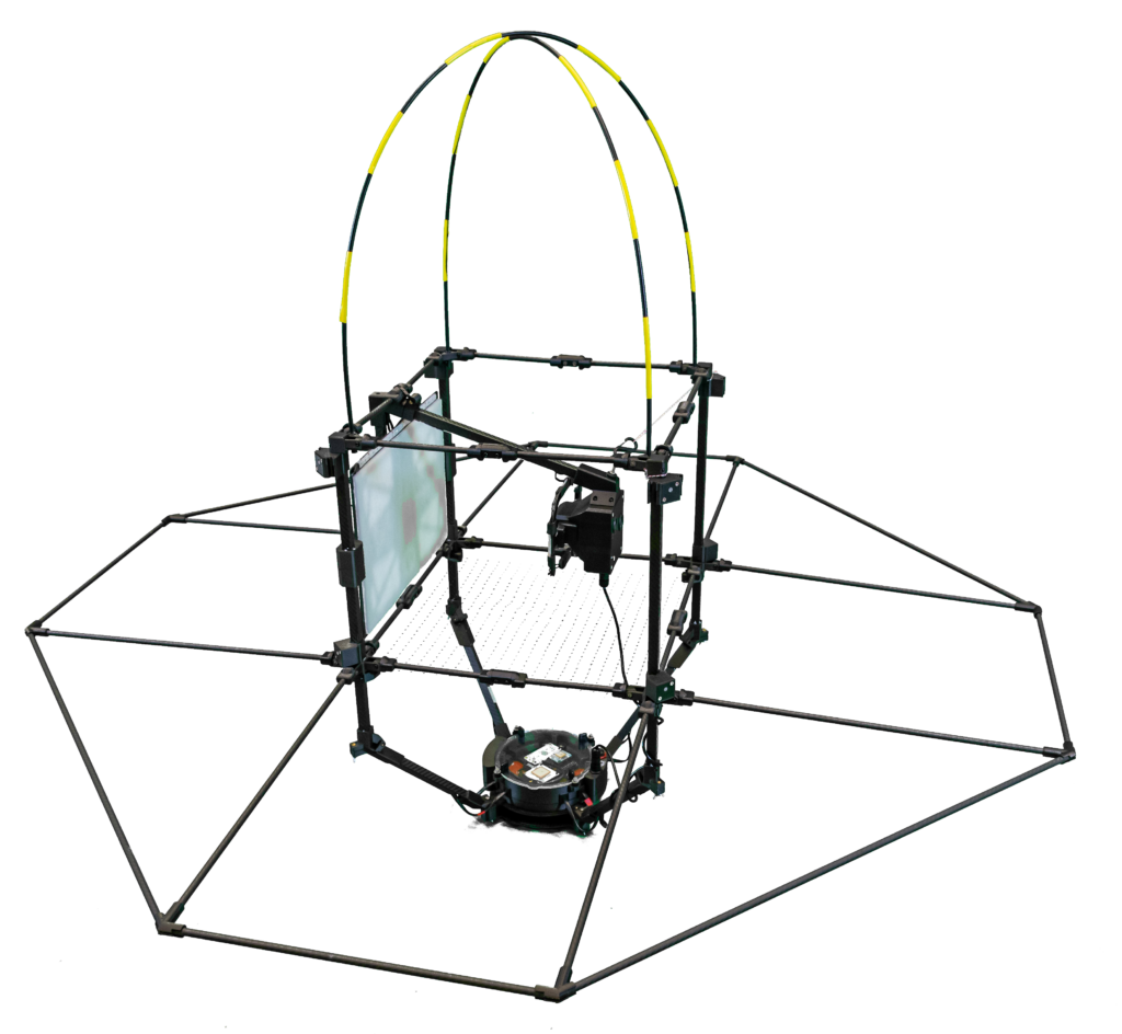
DeLeaves®
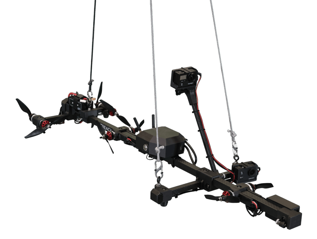
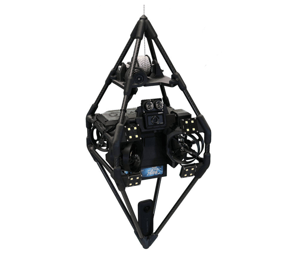
Mamba
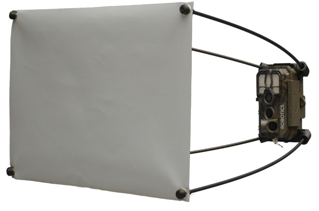
EntoCam Automated Insect Monitoring
EntoCam is a robust, field-ready automated insect monitoring system designed to streamline biodiversity research and track insect populations in diverse environments — from greenhouses to remote field sites. Featuring a 64 MP high-resolution sensor, rugged housing, and an intuitive onboard interface, EntoCam captures crystal-clear images of insects without the need for complex setup or maintenance.
Its affordable and scalable design allows researchers, conservationists, and farmers to deploy multiple units across wide areas, enabling continuous, high-quality insect surveillance and reliable ecological data collection. Whether you’re monitoring pollinators, studying biodiversity trends, or managing pest control, EntoCam empowers better decision-making through smarter, automated observation.
Spy II
Limelight Rainforest Biodiversity Monitoring
Cutting-edge technology for comprehensive data collection: sensor stations, camera traps, conservation drones, and other innovative technologies to monitor biodiversity in the rainforest. Our robust, reliable technology ensures accurate monitoring and species identification, contributing to the Limelight Rainforest team’s victory at the XPrize Rainforest competition and advancing the future of biodiversity monitoring in challenging environments.
Custom solutions
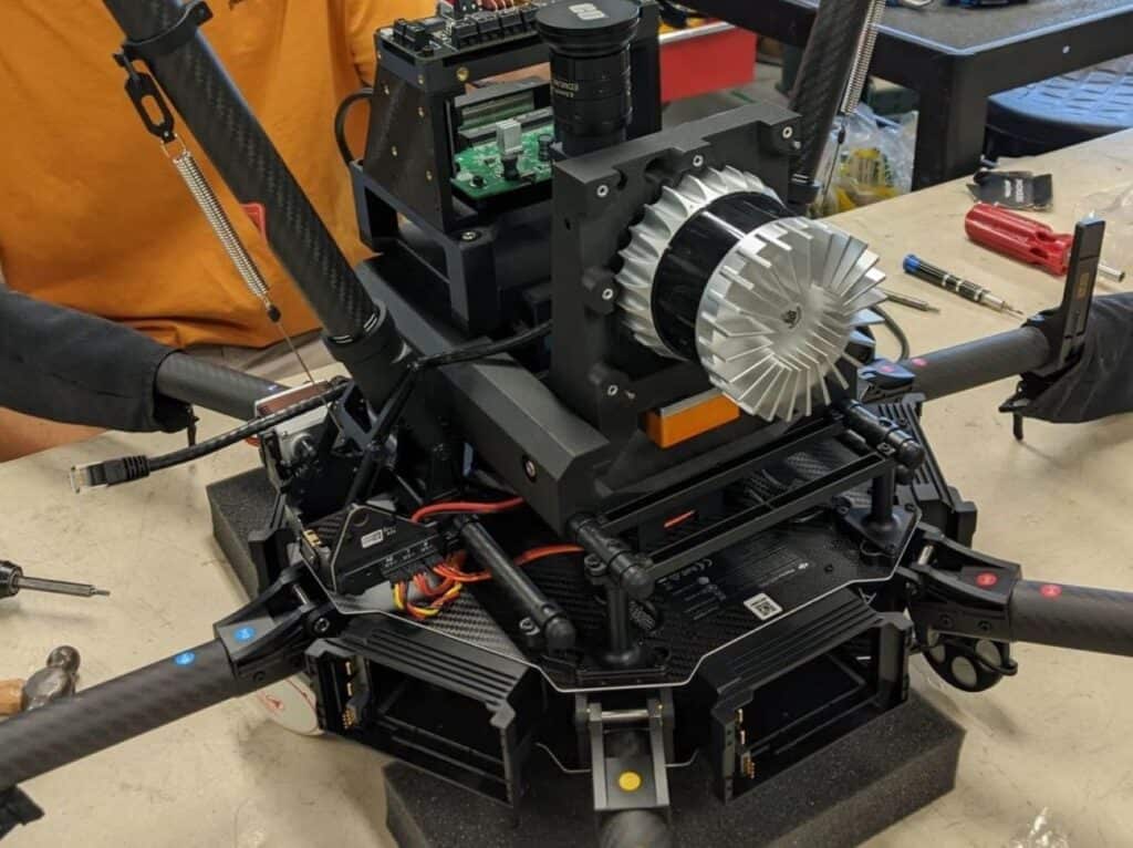
We make our aerial solutions for those industries
We work with a wide range of industries, including:
